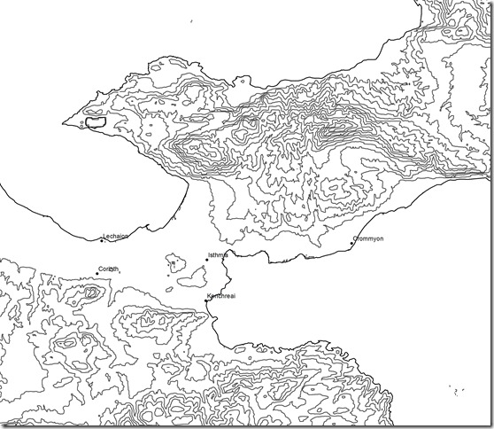
I have updated the Maps section of this website as well as the subdirectories for Contours and Maps of the Corinthia. The latter contains a gallery of maps generated for free distribution for educational and research purposes. The maps present the Corinthia at different scales, with 20 meter and 100 meter contours, generated from the SRTM DEM. Some examples of the gallery maps include….
A simple base map of the Corinthia which can be modified through a photo editing program to add sites, roads, and the like:
A map displaying the most important ancient sites in the Corinthia from the Archaic-Late Roman period:
A map of the Isthmus with sites discussed by Pausanias in the mid-2nd century AD:
A partial gazetteer of ancient and modern sites and settlements in the region:
These maps are intentionally basic—no stream valleys, roads, canals, or fortification walls. Feel free to add and modify to your own ends. Please contact me for adopting these maps for the purposes of publication.


Leave a comment